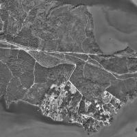
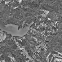
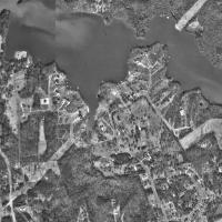
The image below is a satellite photograph taken on 25 April 1996 by the US Geological Survey. The image shows the Riverbend area of the Catawba River in North Carolina. The point of land in the top left portion of the photo is Lincoln County. All lands to the east and south of the river are Mecklenburg County. The property of Stephen Hipp Sr. was located in the approximate area of the bottom center of the map, below Gar Creek.